🚶 Smart Utility Tool
Calculate Walking Time Instantly
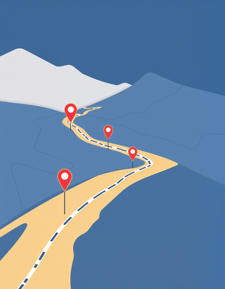
Quickly estimate how long it will take you to walk any distance.
Perfect for planning trips, workouts, daily routines, and outdoor activities.
🚶 Distance to Time
⚡ Instant Results
📍 Trip Planning
📱 Mobile Friendly